Until 1556, the island of Tholen consisted of all smaller islands separated by gullies. The largest gully that cut the island in two was the Pluimpot. After the 1953 flood disaster the Pluimpot had to be closed, it was clear that this estuary could cause dangerous situations during storms or high tides. This channel was eventually closed to reduce the danger in case of flooding.
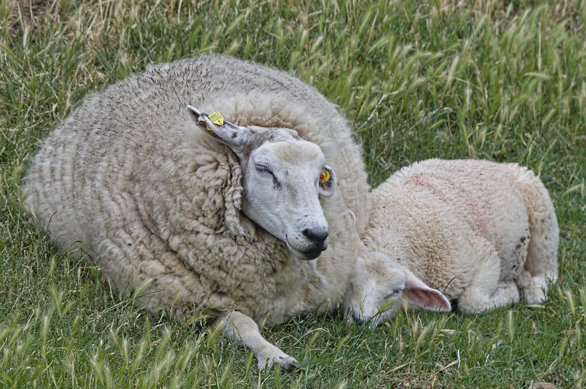
Now this spot is a refuge at high tide and a place where many shorebirds breed every year. You look out towards the Eastern Scheldt and over the green landscape. Sheep graze on the dykes and with a bit of luck you might spot a spoonbill.
Black and white photo: Anton Slagboom, National Archive / Anefo Photo Collection
Pluimpot nature reserve
De Pluimpot
4694 PJ
Scherpenisse
Contact details


