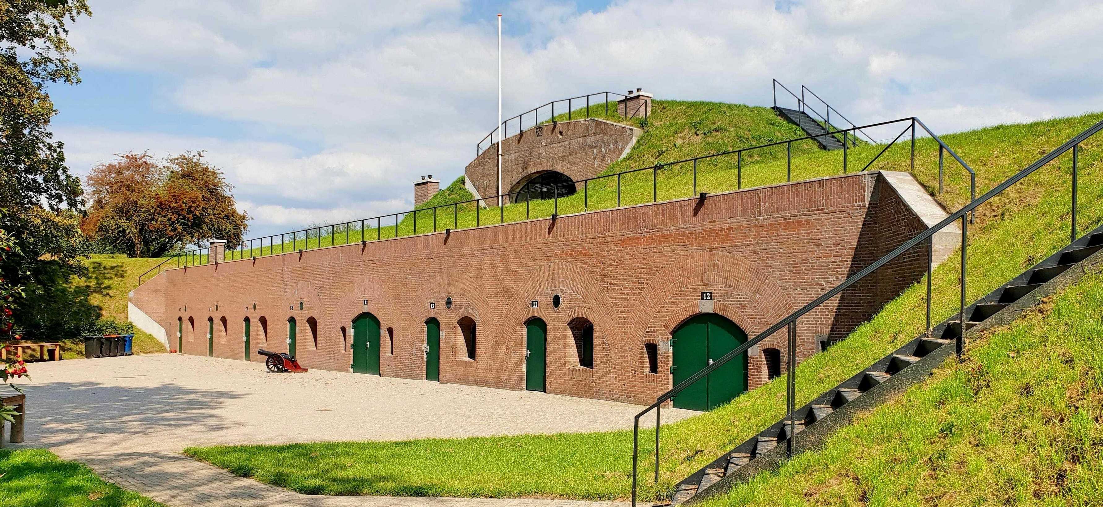
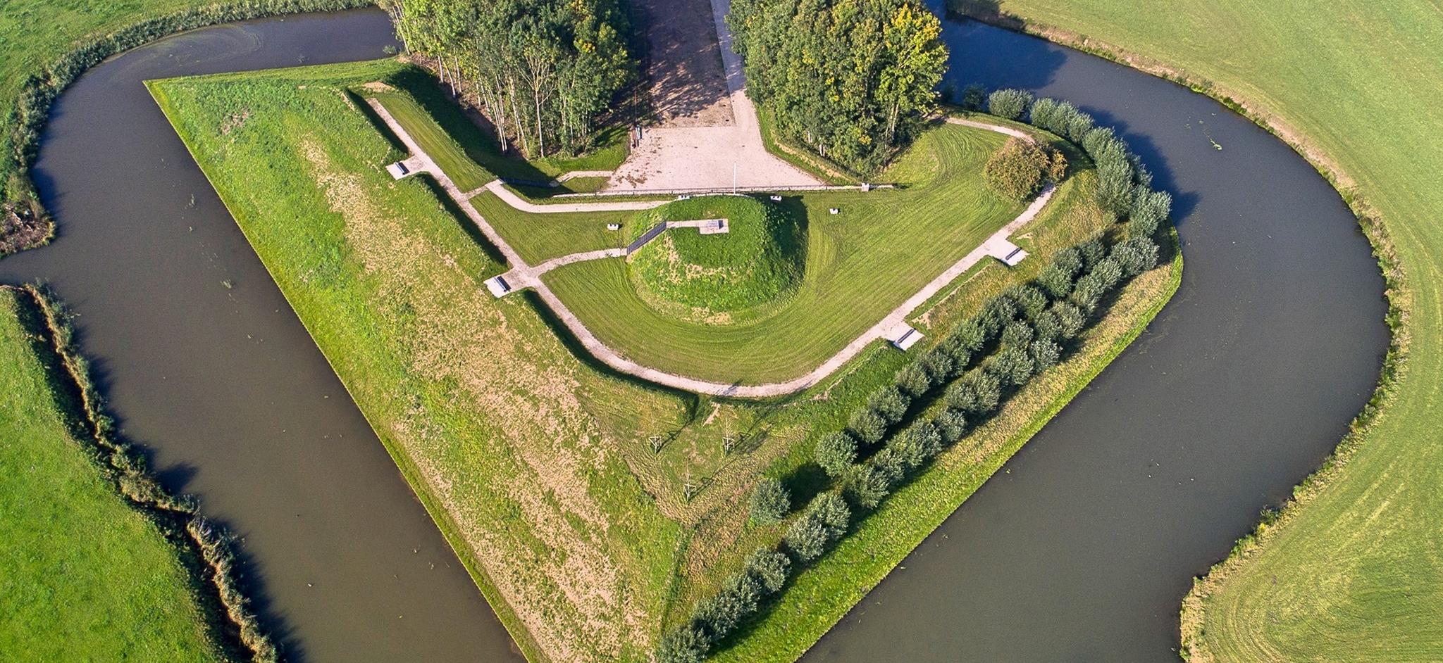
Lunet aan de Snel is part of the Dutch Waterline and is located on the Lekdijk on the Eiland van Schalkwijk, a stone's throw from Fort Honswijk. The total area of Lunet aan de Snel covers almost 2.5 hectares. On the west side of the lunette is the Inundation Canal, which could be used to flood the surrounding area in times of war. The fortification owes its name to the small river Snel, which runs from the east side towards the Blokhoven polder.
The Lunet aan de Snel Foundation offers educational and recreational opportunities to get to know the fort, the surrounding area and/or the theme of water. In addition, the location can be rented for meetings and activities. Lunet aan de Snel has no regular opening hours; the fort is only open by appointment and occasionally during events.
However, there is a public footpath that runs across part of the fort's grounds. This path takes you to a unique viewpoint on the Remise of Lunet aan de Snel. Here you have a view of various parts of the New Dutch Waterline such as Fort Honswijk, the inundation channel and Polder Blokhoven, as well as the Lekdijk and the floodplains. In addition, the artwork Waterstaat by Geert Mul can be viewed at this spot.
Lunet aan de Snel
Lekdijk 56b
3998 NJ
Schalkwijk
Contact details
E: mail@lunetaandesnel.nl
W: https://www.lunetaandesnel.nl/
The upper area is freely accessible via the small gate about 10 metres to the left of the main entrance. Barracks and forecourt only for site rental.


